El Porto Surf Report & Forecast
Surf Report, Surf Forecast & Surf Cam

Nearby Spots



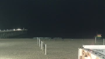



Current Surf Conditions
Condition Rating
Surf Height
4-5FT
Chest to head
Swell
Wind
1KTSESE
2kts gusts, Offshore

Tide
Temperature
75°F

1mm wetsuit


South Los Angeles Forecast
Schaler Perry •Today
Fresh SW/SSW swell picks up through the day, enough NW windswell for an occ. corner. Cleanest AM.
Dawn to 10am: Size holds for South Bay summer exposures as fresh SW/SSW swell from the SPAC picks up. Not as west, so we'll start to see the typical standouts with considerably more size. Expecting just enough NW windswell energy to keep the beachbreaks in play but the structured spots are best. Chest+ north of Hermosa, spots to the south waist-stomach high. Light/variable wind and clean early.
Afternoon Outlook: Light to low-end moderate W wind builds for the afternoon.
El Porto Surf Forecast
LOTUS Model - our advanced surf forecasting system designed specifically for surfers...
El Porto Surf Guide
Despite its many personalities, El Porto is not particularly known for outstanding wave quality. It is, however, a NW swell magnet and it's almost always bigger than any other spot in the South Bay during the winter months. The trick is to find the zone with the "holes," as the locals call them, referring to breaks in the relentless closeouts up and down the beach. With spring sandbars and/or a crossed-up swell, El Porto can get really good, and really crowded. In years past, the area has taken... Read more