Rockview Surf Report & Forecast
Surf Report and Surf Forecast
Nearby Spots
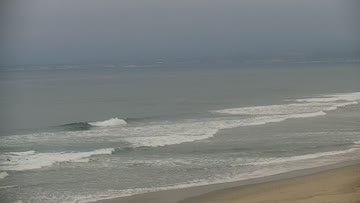


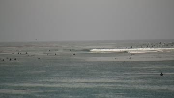

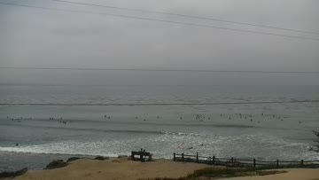
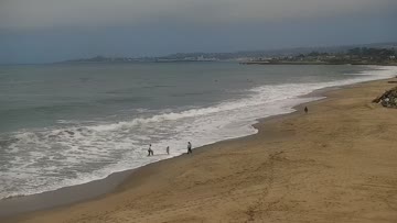
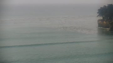
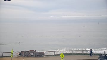
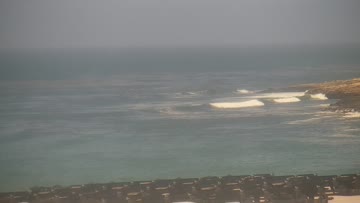
Current Surf Conditions
Local time:
Condition Rating
LOTUS Forecast
Surf Height
2-3FT
Thigh to waist
LOTUS Forecast
Swell
1.6FT18s
SSW203º
1.6FT13s
SSW200º
1FT9s
SSW194º
LOTUS Forecast
Wind
0KTSW
1kts gusts, Cross-shore
Model Forecast

Tide
3.5FT
Temperature
60°F

53ºF
3/2mm wetsuit

Santa Cruz Forecast
Chris Borg •Today
Surf picks up as fresh swell moves in, most size over the afternoon. Wind light in the morning.
Dawn to 10:00AM: New SSW swell fills in as old mix of SSW and WNW swell tapers off, for chest-shoulder high waves at southerly exposures, while best breaks push a foot overhead. Light/variable to light S winds.
Afternoon Outlook: Surf edges up as more swell shows. Winds go light+ SW for some afternoon crumble, then ease into the evening.
Not all south swells are created equal. From Bombing Teahupo'o to Massive Wedge, watch the science behind the South Pacific's most remarkable run in decades: https://bit.ly/4xS68hZRockview Surf Forecast
LOTUS Model - our advanced surf forecasting system designed specifically for surfers...