Four Mile Surf Report & Forecast
Surf Report and Surf Forecast
Nearby Spots
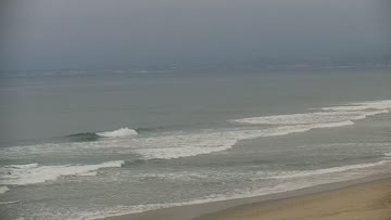

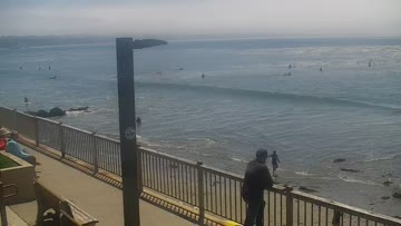
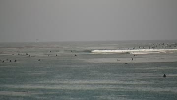
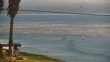
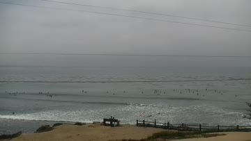
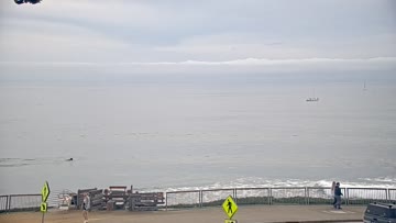
Current Surf Conditions
Condition Rating
Surf Height
3-4FT+
Waist to shoulder
Swell
Wind
10KTSW
15kts gusts, Cross-shore

Tide
Temperature
61°F

3/2mm wetsuit

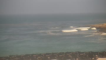
Santa Cruz Forecast
Chris Borg •Today
Surf edges up today as fresh swell creeps in this afternoon. Winds stay on the lighter side.
Afternoon Outlook: Old SSW swell and minor NW swell mix for mainly thigh to stomach high waves at southerly exposures mid day, as top breaks hit head high. A new round of long-period SSW Southerly Hemi slowly rises for chest-head high+ surf at focal points, showing largest late. Light+ SSW onshores for a little afternoon lump. Evening high tide bogs down tide sensitive breaks.
Not all south swells are created equal. From Bombing Teahupo'o to Massive Wedge, watch the science behind the South Pacific's most remarkable run in decades: https://bit.ly/4xS68hZFour Mile Surf Forecast
LOTUS Model - our advanced surf forecasting system designed specifically for surfers...
Four Mile Surf Guide
A rippable right reef/point, four miles outside of Santa Cruz. Breaks all winter, blows out easy and is occasionally a great wave. Read more
Wind data provided by NOAA and its data providers. Liability of any kind arising from use of the data is disclaimed by the providers, including without limitation accuracy, reliability and fitness for a particular purpose.