Queen Street Surf Report & Forecast
Surf Report and Surf Forecast
Nearby Spots





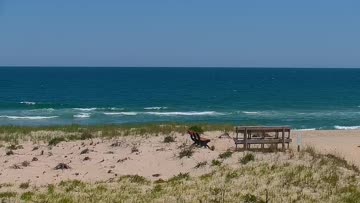



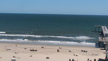
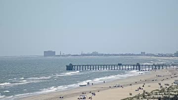




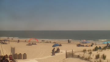
Current Surf Conditions
Condition Rating
Surf Height
1-2FT
Knee to thigh
Swell
Wind
13KTSNNE
19kts gusts, Offshore

Tide
Temperature
76°F

1mm wetsuit

South New Jersey Forecast
Tim Kent •Today
Easing S swell mix with gentle NE becoming light E winds. Still decently fun waves, but textured.
Dawn to Midday: Lingering rideable to fun sized southerly swell mix for the region, with surf around waist-stomach-chest high. Winds are light+ northerly for textured but manageable conditions through the morning. Cleanest at the more S/SE facing beaches in Cape May County.
Afternoon Outlook: Winds trend light+ E in the afternoon for some continued texture but very doable conditions. Worth considering if that is your window.
Queen Street Surf Forecast
LOTUS Model - our advanced surf forecasting system designed specifically for surfers...
Queen Street Surf Guide
Queen Street offers difficult lefts that jack up suddenly then wall up down the beach on big nor'easters. Once you get through the takeoff and first section, the wave becomes rippable. Queen Street doesn't show its full potential until the swell is overhead. It's also a popular longboarding spot on smaller summer days. Crowds are heavy on those days, with lots of grizzled longboarders and frantic groms. Things thin out when the surf gets serious. Read more