Newport Point Surf Report & Forecast
Surf Report, Surf Forecast & Surf Cam
Nearby Spots

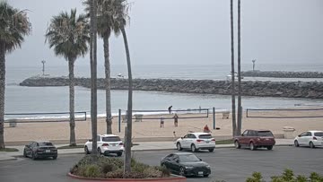


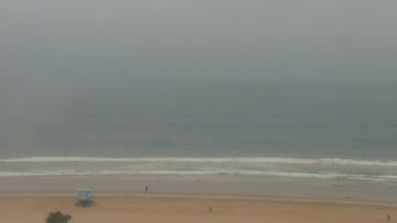

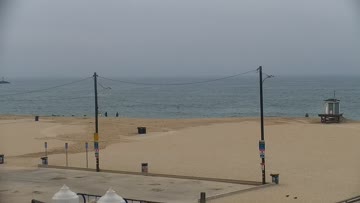
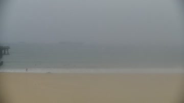
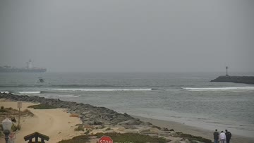
Current Surf Conditions
Condition Rating
Surf Height
4-5FT
Chest to head
Swell
Wind
5KTSWNW
8kts gusts, Cross-shore

Tide
Temperature
68°F

2mm wetsuit

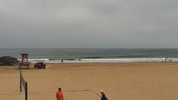
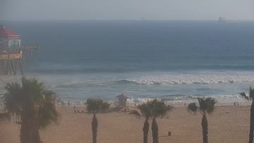
North Orange County Forecast
Matt Kibby •Today
Fun surf for the mid-AM to early PM window. Mind the low tide if you're surfing early.
Dawn to 10am: Peaking SSW swell spreads waist-chest-high surf around. Better breaks along the West Newport to HB Pier stretch go upwards of head-high with some larger sets in the mix. A little bit of NW energy mixing in, not enough for proper peaks, but the open beachbreaks should at least be in play with workable sections and the odd open corner. Dawn patrol is drained, wait for the tide push. SW wind crumble.
Afternoon Outlook: Building onshore westerly flow and plenty of lump and bump.
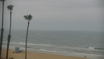
Newport Point Surf Forecast
LOTUS Model - our advanced surf forecasting system designed specifically for surfers...
Newport Point Surf Guide
Newport Point is a very fickle spot, breaking only on hurricane swells from a specific direction with a specific wave period. It's best on swells that actually have a little E in them, if that makes any sense. When this rare event occurs, it's a hellfire right-and-left barrel that tops any other break in the county. Read more