Newport Point Surf Report & Forecast
Surf Report, Surf Forecast & Surf Cam
Nearby Spots

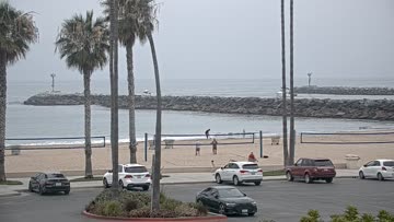


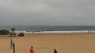


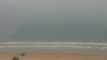

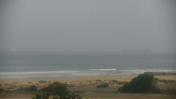

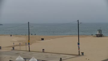
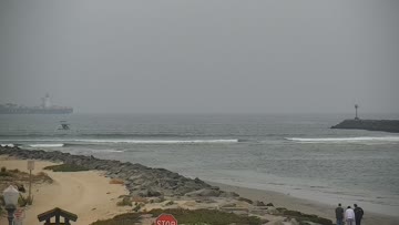
Current Surf Conditions
Condition Rating
Surf Height
2-3FT+
Thigh to stomach
Swell
Wind
15KTSWNW
18kts gusts, Cross-shore

Tide
Temperature
69°F

2mm wetsuit

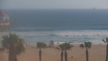
North Orange County Forecast
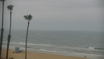
Kevin Wallis •Today
Good size surf but the early window is drained w/leftover lump. Better mid AM, windy/bumpy PM.
Dawn to 10am: SSW hangs in there. Average breaks are in the waist-shoulder high zone as good breaks push head high-overhead at times. Shape is lined up outside of spots with some structure. Crumbly to bumpy start but look for a little improvement through mid AM as early onshores settle some and the neg low tide pushes in.
Afternoon Outlook: Size holds but quality worsens as breezy W wind gets on it for bump to chop.
Newport Point Surf Forecast
LOTUS Model - our advanced surf forecasting system designed specifically for surfers...
Newport Point Surf Guide
Newport Point is a very fickle spot, breaking only on hurricane swells from a specific direction with a specific wave period. It's best on swells that actually have a little E in them, if that makes any sense. When this rare event occurs, it's a hellfire right-and-left barrel that tops any other break in the county. Read more