Lower Trestles Surf Report & Forecast
Surf Report, Surf Forecast & Surf Cam
Nearby Spots

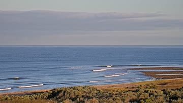
Current Surf Conditions
Condition Rating
Surf Height
4-6FT
Chest to overhead
Swell
Wind
7KTSS
7kts gusts, Onshore

Tide
Temperature
72°F

1mm wetsuit

South Orange County Forecast
Matt Kibby •Today
Rippable southerly swell mix is cleanest through the morning window. Find wind blockage in the PM.
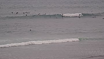
Dawn to 10am: SSW-SW swell from Elida will slowly ease, while some new Southern Hemi swell is filling in to help keep up surf heights. Pretty good size at many breaks (waist-chest-head high). Top spots see some overhead+ sets. Shape is best for spots with structure but there's corners around the beachbreaks. Clean start w/ light offshores, light S wind bump due mid-AM.
Afternoon Outlook: Light to moderate WSW wind builds for the afternoon and evening.
Lower Trestles Surf Forecast
LOTUS Model - our advanced surf forecasting system designed specifically for surfers...
Lower Trestles Surf Guide
Offering forgivably rippable walls going either way, Lower Trestles only closes out on the rarest of swells.If there's a sniff of south swell in the water, Lowers will welcome it with open arms. But if there's a puff of south wind, Lowers will shut down quicker than 5:00pm on Wall Street.Don't expect to score Lowers uncrowded either (even on full moon nights). Watch any set roll through and you'll see two (or more) surfers taking off in either direction, which often makes thi... Read more