Cottons Surf Report & Forecast
Surf Report and Surf Forecast
Nearby Spots

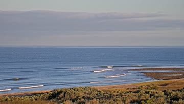
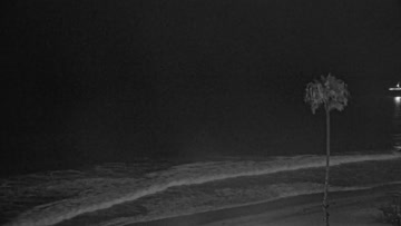
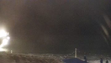
Current Surf Conditions
Condition Rating
Surf Height
3-4FT+
Waist to shoulder
Swell
Wind
10KTSWSW
10kts gusts, Onshore

Tide
Temperature
63°F

3/2mm wetsuit

South Orange County Forecast
Matt Kibby •Today
Waist-chest high waves stick around. Head+ for best spots. Wait out the early low tide.
Dawn-10am: The lead into the holiday weekend gets a fresh round of longer period SSW swell -- a little bit of NW windswell in the mix to keep the lights on at the beachbreaks -- not expecting peaks but maybe some open corners here and there. A little onshore crumble during the best tide window, but worth avoiding the negative low first thing.
PM Outlook: A little more SSW swell arrives, standouts see some overhead waves. Moderate onshore lump into the late PM window. Evening mellows some.
Not all south swells are created equal. From Bombing Teahupo'o to Massive Wedge, watch the science behind the South Pacific's most remarkable run in decades: https://bit.ly/4xS68hZCottons Surf Forecast
LOTUS Model - our advanced surf forecasting system designed specifically for surfers...
Cottons Surf Guide
Cottons Point, the lefthander at the north end of the Trestles beaches, is a long, often-mushy left that breaks further off the beach than any of the other nearby spots. Depending on sand buildup and the tide, the wave typically offers a rather flat face that's perfect for cutbacks. However, if there's a large, long-period, southerly swell and a minus low tide, Cottons turns into a quality high-performance wave, complete with a crackable lip-line and multiple barrel sections before unloading int... Read more