Avon Pier Surf Report & Forecast
Surf Report, Surf Forecast & Surf Cam


Nearby Spots



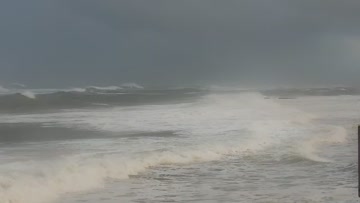
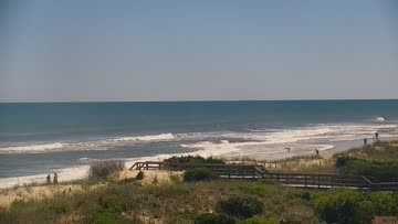
Current Surf Conditions
Condition Rating
Surf Height
2-3FT+
Thigh to stomach
Swell
Wind
22KTSSW
28kts gusts, Offshore

Tide
Temperature
83°F

Rashguard

Hatteras Island Forecast
Tim Kent •Today
Rideable S windswell. SW winds ease & trend light & varying under a front. Decent pockets of surf.
Dawn to Midday: Continued S windswell and rideable to fun sized surf. Winds are SW in the morning, for cleanest conditions in Rodanthe/Pea Island and that looks like the window to target up there for some thigh+ high surf. Bigger but more side textured further south.
Afternoon Outlook: Not great, but winds ease and trend light and varying under a frontal boundary, producing slightly improved conditions further south, and that will be worth monitoring for some decent waist high range surf.
Avon Pier Surf Forecast
LOTUS Model - our advanced surf forecasting system designed specifically for surfers...
Avon Pier Surf Guide
While not as revered as other some other surf spots nearby on the island, Avon Pier can be the focal point of surf on Hatteras Island when everything aligns. The sandbars shift frequently on both sides of the pier. From outside sandbars near the end of the pier and the dreaded inside trench to the close-to-the-beach grinders depending on the sand, there have been many faces of Avon Pier over the years. Regardless of sand, the pier can often pick up more swell than surrounding zones, making it qu... Read more