Frisco Surf Report & Forecast
Surf Report, Surf Forecast & Surf Cam
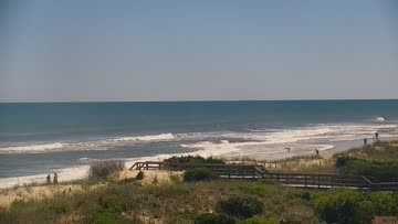
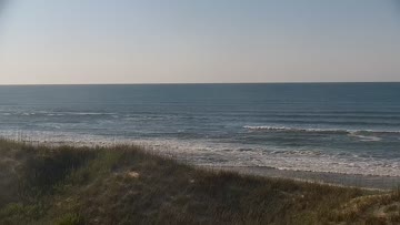
Nearby Spots


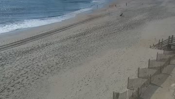


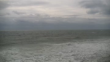
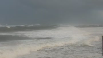
Current Surf Conditions
Condition Rating
Surf Height
3-4FT+
Waist to shoulder
Swell
Wind
27KTSSW
32kts gusts, Onshore

Tide
Temperature
81°F

Rashguard

Hatteras Island Forecast
Tim Kent •Today
Stronger S windswell. Sideshore winds much of the day but OK windows for the floatier boards.
Midday: Still looking at thigh-waist+ high surf at lunch, but moderate SW winds mean conditions are fairly sideshore where the surf is biggest, in the southern part of the region. Still worth considering trying to find something, but I'd have my expectations pretty low.
Afternoon Outlook: Winds ease and trend a bit more WSW, for slightly improved conditions where the surf is biggest in the Avon-Buxton zone. Spots further north stay pretty small through the day. Worth watching.
Frisco Surf Forecast
LOTUS Model - our advanced surf forecasting system designed specifically for surfers...
Frisco Surf Guide
The actual pier was named Cape Hatteras Pier, but the actual pier is actually gone. Still, Frisco Pier is the most popular zone on the south side, protected from angry N/NE energy and offshore in northerly winds. Wrap swells sometimes produce grinding lefts, but given Frisco’s south-facing catcher’s mitt and wide swell window, it prefers S swells. Frisco Pier can handle bigger swells but it is aggravatingly fickle, hence the phrase “Frisco Disco.” (Drive all the way down there from wherever you... Read more
Wind data provided by NOAA and its data providers. Liability of any kind arising from use of the data is disclaimed by the providers, including without limitation accuracy, reliability and fitness for a particular purpose.