1st Street Surf Report & Forecast
Surf Report, Surf Forecast & Surf Cam
Nearby Spots

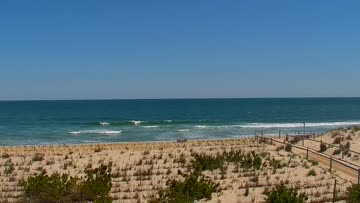
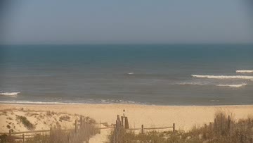
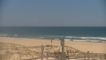
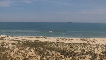
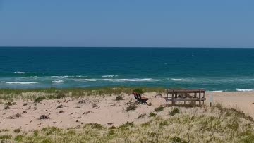
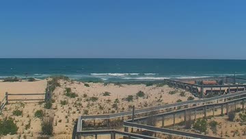
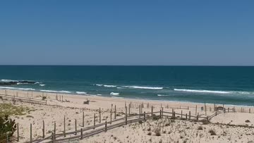

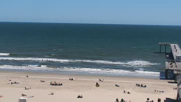
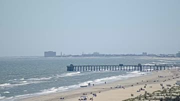
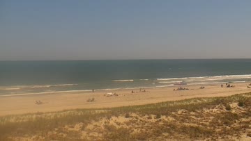

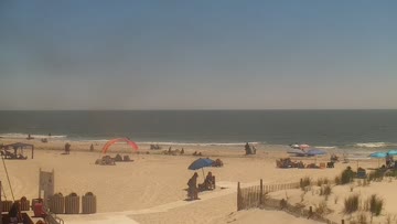
Current Surf Conditions
Condition Rating
Surf Height
1-2FT
Knee to thigh
Swell
Wind
11KTSS
17kts gusts, Onshore

Tide
Temperature
76°F

1mm wetsuit

South New Jersey Forecast
Tim Kent •Today
Smaller waist high range E swell mix from departing low pressure. Increasingly sideshore.
Midday: Smaller but rideable summer surf for the floaty boards off leftover E swell still at lunch. Light+ S winds and side textured conditions for most now. Still some thigh-waist high range surf, but you will want to target a break with some wind protection. Water is likely to cool off today.
Afternoon Outlook: Continued easing swell leftovers with increasing southerly breezes and textured conditions expected.
1st Street Surf Forecast
LOTUS Model - our advanced surf forecasting system designed specifically for surfers...
1st Street Surf Guide
Short jetties, stubby groins and other random rockpiles give the shifting sandbars a home in Ocean City, and 1st Street is one of the more consistent. Heaving, rifling rights off the north side of the rocks during S swells; sucky, spinning lefts off the south side of the rocks during N swells; wedgey A-frames in between — it all depends on the sand and the swell. But if it’s big enough, it will probably be shorebreak, and it will probably be barreling. Likes a mid to high tide, and eats a lot of... Read more
Wind data provided by NOAA and its data providers. Liability of any kind arising from use of the data is disclaimed by the providers, including without limitation accuracy, reliability and fitness for a particular purpose.