Moss Landing Surf Report & Forecast
Surf Report and Surf Forecast

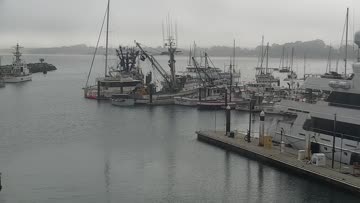
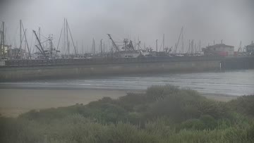
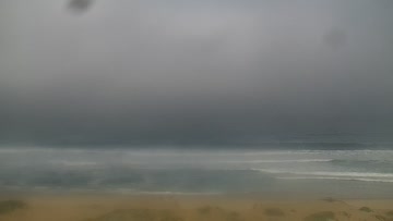
Current Surf Conditions
Condition Rating
Surf Height
3-4FT
Waist to chest
Swell
Wind
2KTSSSE
3kts gusts, Offshore

Tide
Temperature
61°F

3/2mm wetsuit


Monterey Forecast
Matt Kibby •Today
Surf up a peg as swell peaks. Light winds in the morning, go moderate onshore for the afternoon.
Dawn to 10:00AM: Shorter-period WNW swell peaks, with thigh-waist-stomach high range waves locally, as a decent share of SW swell gets into best exposures for better peaks/sets.
Summertime breaks further north and south of Monterey see more of that SW swell, with waves running chest to head high+ at exposures, while standouts go overhead.
Light S winds.
Afternoon Outlook: Surf size holds. Moderate WSW afternoon onshores.
Moss Landing Surf Forecast
LOTUS Model - our advanced surf forecasting system designed specifically for surfers...
Moss Landing Surf Guide
One of California's best beachbreaks. During the winter, when a W swell is filling the bay and the offshores are howling out of the Salinas Valley, Moss Landing will take your breath away, in more ways than one. Just offshore, hidden under all that water, the Monterey Canyon drops down to a maximum depth of over a mile, and the Canyon has an effect on what happens along the beach. The swell that hits Moss Landing has come out of very, very deep water and hasn't been slowed down by the continenta... Read more
Wind data provided by NOAA and its data providers. Liability of any kind arising from use of the data is disclaimed by the providers, including without limitation accuracy, reliability and fitness for a particular purpose.