George's Surf Report & Forecast
Surf Report, Surf Forecast & Surf Cam
Looking for your waves?
Nearby Spots
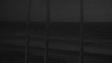

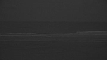
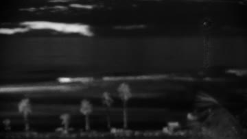
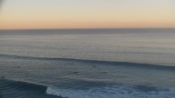
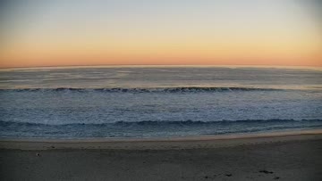


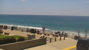


Current Surf Conditions
Local time:
Condition Rating
LOTUS Forecast
Surf Height
2-3FT
Thigh to waist
LOTUS Forecast
Swell
1.3FT10s
WNW284º
1.3FT17s
SSW213º
1.3FT12s
SSW202º
LOTUS Forecast
Wind
2KTSESE
3kts gusts, Offshore
Model Forecast

Tide
-0.2FT
Temperature
66°F

64ºF
2mm wetsuit

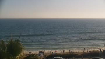
North San Diego Forecast
Matt Kibby •Today
Knee-waist high surf, chest-high for better breaks. Shape best mid-AM as tide comes in.
Dawn-10am: Little mix of SW/SSW swells for knee-waist high waves, pushing chest high for far north county standouts, a little bigger once the negative low tide fills in around 7-8am. Some onshore S wind crumble to deal with, but not bad.
A little bit of NW energy in the mix, should be enough for a couple corners at the open beachbreaks given the smaller Southern Hemi swell on tap.
PM Outlook: Moderate onshore lump, a little more size.
Not all south swells are created equal. From Bombing Teahupo'o to Massive Wedge, watch the science behind the South Pacific's most remarkable run in decades: https://bit.ly/4xS68hZGeorge's Surf Forecast
LOTUS Model - our advanced surf forecasting system designed specifically for surfers...