Fort Point Surf Report & Forecast
Surf Report and Surf Forecast
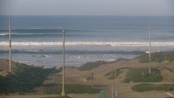
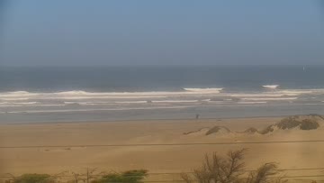
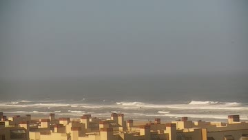

Current Surf Conditions
Condition Rating
Surf Height
1-2FT
Knee to thigh
Swell
Wind
5KTSSW
9kts gusts, Onshore

Tide
Temperature
59°F

3/2mm wetsuit


San Francisco Forecast
Chris Borg •Today
Surf up a bit today as fresh swell starts to move in. Morning onshores are lightest of the day.
Dawn to 10:00AM: Morning stays small off mainly old swell mix for waist-chest high+ waves. Low-end moderate WSW winds much of the morning.
Afternoon Outlook: New combo of WNW swell and longer-period SSW swell bumps up a notch over the afternoon, for more waist-shoulder high+ surf. Rising WSW over the afternoon for poor conditions.
Fort Point Surf Forecast
LOTUS Model - our advanced surf forecasting system designed specifically for surfers...
Fort Point Surf Guide
On the best days, the wave starts around the point directly under the bridge and wraps nearly 90 degrees into the cove on the inside. Fort Point is an experience: safe and dangerous, exposed and protected, easy and hard. All of these things at the same time. Fort Point is safe because when the big, bad ocean outside the bay is closed-out, blown-out or otherwise unsurfable, Fort Point can be four to six-feet, hot and glassy. During the winter, Fort Point is usually offshore and rarely blows out,... Read more
Wind data provided by NOAA and its data providers. Liability of any kind arising from use of the data is disclaimed by the providers, including without limitation accuracy, reliability and fitness for a particular purpose.