Upper Trestles Surf Report & Forecast
Surf Report, Surf Forecast & Surf Cam
Nearby Spots

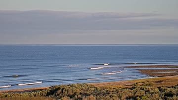
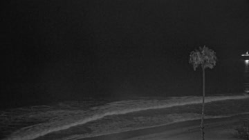
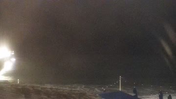
Current Surf Conditions
Condition Rating
Surf Height
5-7FT
Head to 2ft overhead
Swell
Wind
7KTSW
10kts gusts, Onshore

Tide
Temperature
63°F

3/2mm wetsuit

South Orange County Forecast
Matt Kibby •Today
Surf picks up as mix of reinforcing S swell and new SW swell move in. Most size PM. Light AM winds.
Dawn to 10am: Drained on the negative low tide first thing. Light W wind as it pushes in early/mid-morning. S swell mixes with building SW swell, setting up widespread chest-head high waves, while better breaks go overhead and standouts hit a few feet overhead. The mix of swells helps section out the open beachbreaks. Not totally peaky, but not straight walled either.
Afternoon Outlook: Peaking swell/surf. Moderate W winds for lumpy afternoon conditions.
Upper Trestles Surf Forecast
LOTUS Model - our advanced surf forecasting system designed specifically for surfers...
Upper Trestles Surf Guide
While the surf media limelight tends to focus itself a quarter-mile south, Upper Trestles steadily grinds out quality cobblestone righthanders that are often equally as impressive as Lowers. And if the river is flowing, Uppers can even offer a short, punchy left into the mouth. But the focus is always on the rights, especially since Uppers draws in a bit more west and northwest energy than its sister to the south.North of the rivermouth is the outer takeoff zone, which peaks up the big... Read more