Matunuck Surf Report & Forecast
Surf Report, Surf Forecast & Surf Cam
Nearby Spots

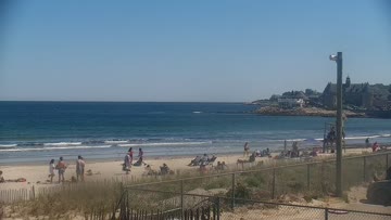
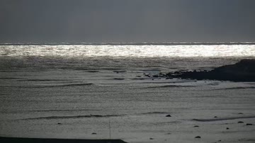
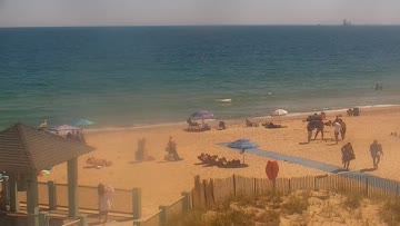
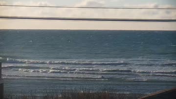
Current Surf Conditions
Condition Rating
Surf Height
1-2FT
Knee to thigh
Swell
Wind
12KTSSW
19kts gusts, Cross-shore

Tide
Temperature
65°F

2mm wetsuit

Rhode Island Forecast
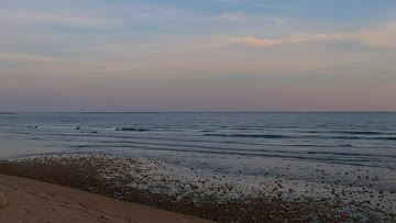
Tim Kent •Today
Shot of windswell cleans up. Options for clean log waves up to thigh high with NW becoming W winds.
Dawn to Midday: S/SSW winds build ahead of a front overnight, driving up some small SSW windswell up to knee-thigh high early, but this will be weak short period surf. Not much push or organization to it. On the bright side, winds swing NW through the morning, offering clean conditions. Nothing special, but ok log waves.
Afternoon Outlook: Surf trends up to thigh high, but still weak. W winds in the afternoon, so you will want to transition to the E facing breaks for cleanest conditions.
Matunuck Surf Forecast
LOTUS Model - our advanced surf forecasting system designed specifically for surfers...
Matunuck Surf Guide
Matunuck’s surf is basically concentrated into three main breaks, from east to west: Deep Hole, a speedy left at low tide; Trestles, an A-frame peak with hollow rights and zippy lefts at lower tides; and The Point, a well-defined peak with a short, bowly right and a long, rippable left that links up with an inside bowl on incoming. All spots break over cobblestone/boulder reefs and can handle well-overhead swell. The Point likes SE swells, while Trestles and Deep Hole typically favor E swells, b... Read more