Huntington Beach Pier Southside Surf Report & Forecast
Surf Report, Surf Forecast & Surf Cam


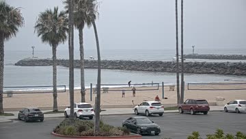
Nearby Spots


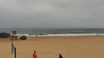

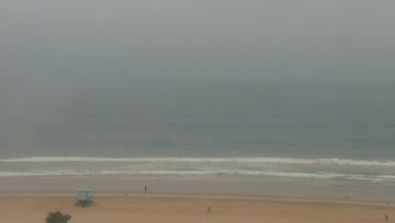

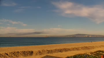
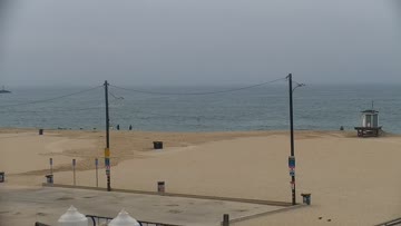
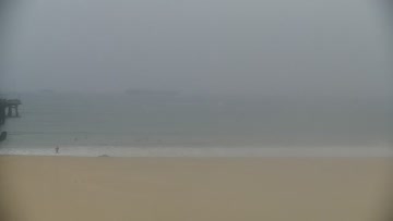
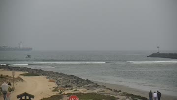
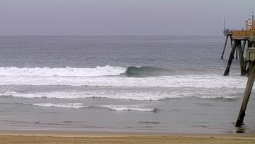
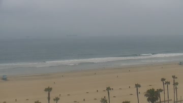
Current Surf Conditions
Condition Rating
Surf Height
4-5FT
Chest to head
Swell
Wind
4KTSSE
6kts gusts, Cross-shore

Tide
Temperature
62°F

3/2mm wetsuit

North Orange County Forecast
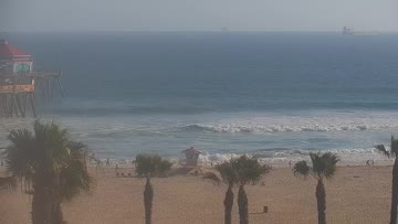
Kevin Wallis •Today
Peakier than it has been but SE wind develops through the AM. Still worth a look before a windy PM.
Dawn to 10am: A mix of old and new SSW swells and an increase in short period NW swell keeps waist occ. chest high waves running . The better breaks top out around chest-head high, although have been inconsistent on the larger sets. Light+ SE wind - crumbly but manageable.
Afternoon Outlook: Size holds but SW-W wind picks up for more bump and generally deteriorating quality.
Not all south swells are created equal. From Bombing Teahupo'o to Massive Wedge, watch the science behind the South Pacific's most remarkable run in decades: https://bit.ly/4xS68hZHuntington Beach Pier Southside Surf Forecast
LOTUS Model - our advanced surf forecasting system designed specifically for surfers...
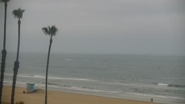
Huntington Beach Pier Southside Surf Guide
Diehards swear by this classic "Surf City" break, claiming it's the ultimate wave; while others just laugh and say the contest organizers can have it every day of the year for all they care. But anyone who stumbles upon a peaky swell with Santa Ana winds here would probably side with the diehards.While most outsiders think of the South Side of Huntington Beach Pier as a summer hot spot, that’s not always the case. Locals say it works better during winter, when NW swells wrap around the... Read more