.png)
.png)


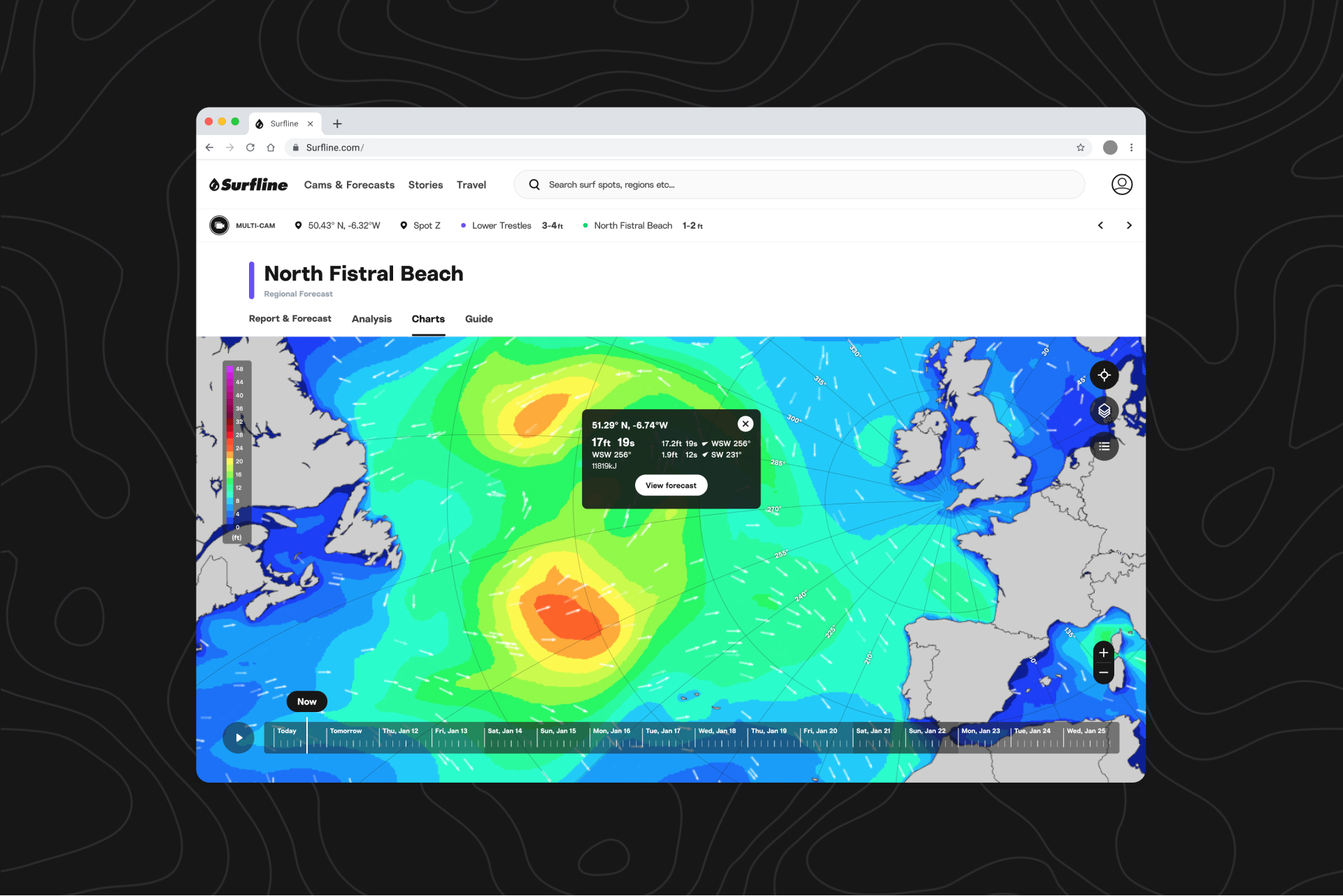
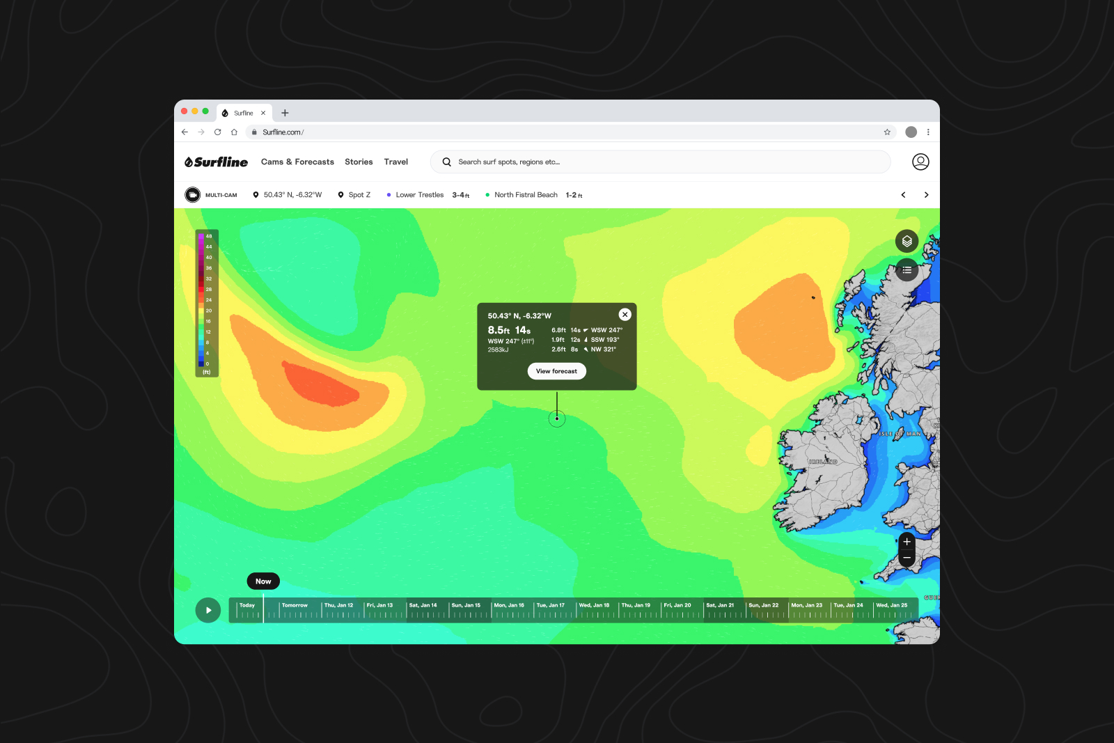
Our charts are getting more advanced—but not more complicated. Our new tools—available in web—give you a clearer view of when you’ll be getting waves, and how. We’ve made them interactive to go the extra (nautical) mile, allowing you to pinpoint the path a swell will be taking before landing on your doorstep.
Great circles
The earth is round, and that’s not up for debate. When you view our charts on web, you’ll now see great circle lines, which provide perspective on the paths the swell blobs in the ocean would need to take to head your way. Great circles account for the earth’s curvature by mapping latitude and longitude onto our 2D charts.
How to use it
When you enter charts from a spot page, your origin point is automatically the spot from which you began, and great circles appear as default.
You’ll see there is a new crosshair/target icon in the upper right corner of your chart—use this to toggle great circles on or off.
You can also move your pin on the map to any location, and that will become your new origin point.
If you’ve entered via global charts (rather than on a spot page), the origin point will be wherever the center of the chart is at the time you click on the crosshair.
You can then find a swell anywhere in the ocean and use great circles to figure out if a swell will be hitting the spot you’re interested in, or if it will just be passing by. The scale of the lines changes as you zoom in or out and will always be measured in nautical miles (nm).