Newport Upper Jetties Surf Report & Forecast
Surf Report, Surf Forecast & Surf Cam
Nearby Spots

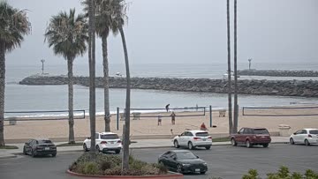


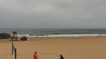

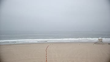
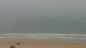

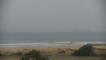
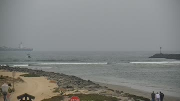
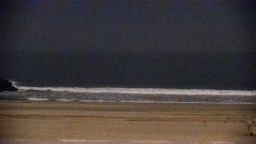
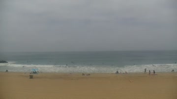
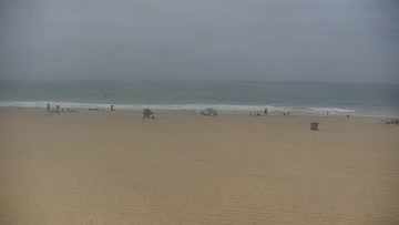
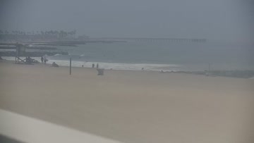
Current Surf Conditions
Condition Rating
Surf Height
8-10FT
2x overhead

Swell
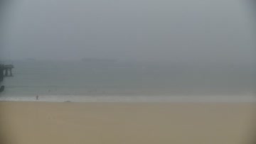
Wind
2KTSS
4kts gusts, Onshore

Tide
Temperature
63°F

3/2mm wetsuit
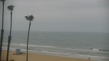
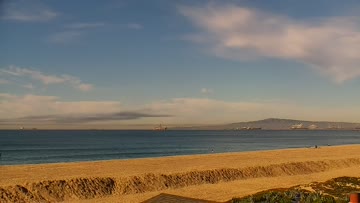
North Orange County Forecast
Matt Kibby •Today
Pumping SSW swell builds all day. Maxes out most beachbreaks with size and current. Light AM wind.
Dawn-10am: SSW swell builds further. Exposed breaks will easily be overhead and well overhead at times. Good spots see waves in the 2x overhead range. Powerful with lots of current at open beachbreaks. Generally clean in the AM with wind light/variable to light S onshore.
Afternoon Outlook: Swell eventually peaks through the afternoon/evening and into Wednesday. Select standout spots likely see sets up to 15' on the face. Low-end moderate SW wind into the PM - some crumble but not bad.
Newport Upper Jetties Surf Forecast
LOTUS Model - our advanced surf forecasting system designed specifically for surfers...
Newport Upper Jetties Surf Guide
56th Street produces zippy, sometimes world-class lefts on a S swell. Like any high-performance hotbed, if you prove you can fly with the best of them, chances are you'll be given plenty of clearance. Read more